


Snoopy vs The Red Barron vs Land Reform in Asia
Bombers, Asian Economies, and Arbitrary Borders

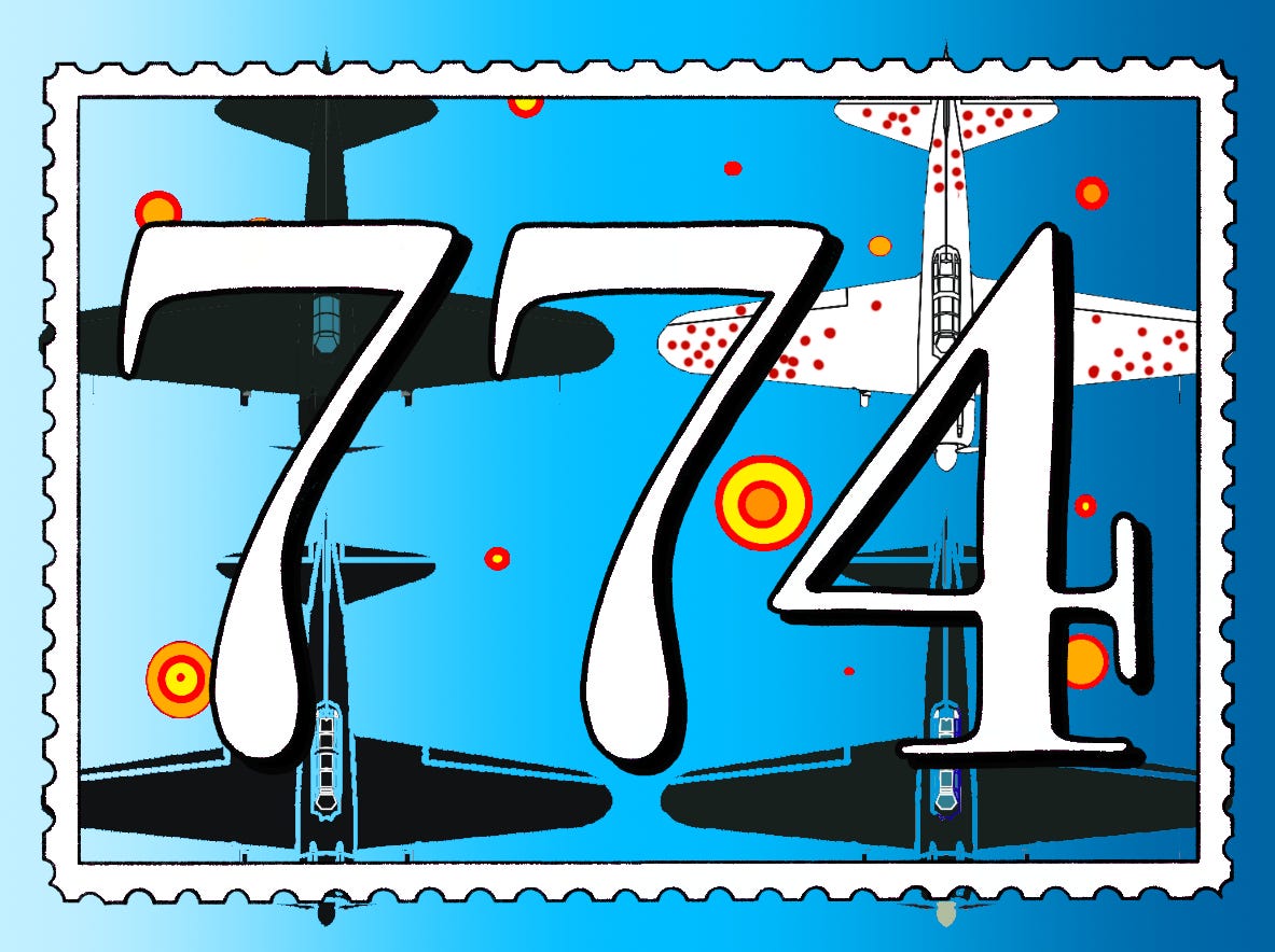
This is the 24th installment of 774: Weekly lessons from history about science, technology, and the miscellaneous.
Next Week:
Who Needs Stupid Books?
This Week:
Snoopy vs The Red Barron vs Land Reform in Asia
During WWII the United States Army Air Force was looking for a way to bring more of its bombers home from the fight in one piece. They could have increased speed but sacrifice payload size or increase the number of fighters that accompany bombers to ward off enemy attacks. The most obvious solution, though, is to make aircraft resilient to enemy fire. Armor the planes. A mathematician named Abraham Wald determined the best way to do it.
Abraham Wald was born in Transylvania. He lived in Europe and worked in academia there until growing anti-semitism caused him to move his family to the United States in 1938. When the United States entered WWII, Wald joined a team called the Statistical Research Group. The SRG was charged with solving a variety of statistical problems throughout the Allied war effort. One of those problems was determining how the U.S. should armor its bombers. The first step in answering this question is to figure out where the bombers are getting shot. This was simple enough to determine. As the bombers returned to base after a mission, identify where they were hit and record the location. After those locations were aggregated, you get a picture that looks like this:

The red dots indicate bullet holes and damage from anti-aircraft flack. They’re all concentrated. The U.S. Army Air Force saw this aggregation and concluded that they should armor these concentrated areas in order make their bombers tougher. Abraham Wald at the Statistical Research Group disagreed. While the picture looks like an image of the most likely places for a bomber to be shot, it actually measures the places a bomber can be shot and survive. The identification of bullet holes could only take place if a bomber stayed in the air long enough to return to base. The bombers that got shot down and plunged into the sea would never be examined for bullet holes. The U.S. military’s initial conclusion was the product of what is called Survivorship Bias, the tendency to only measure results of those who reached a certain point in a process. Like measuring the financial effects of those who go to college but not including those who attended and dropped out, those who go unmeasured prevent the statistics from fully representing reality. Wald concluded that the military shouldn’t waste resources on the tail and the wings of the bombers, but instead should armor the engines. Those can’t take a hit.1
The picture of a plane with polka dots on its wings is everywhere these days. Its inherent statistical lesson has been memed to death on Twitter.2 The takeaway is generally obvious, but what do you do with the story of Abraham Wald and Survivorship Bias if you don’t work in a data adjacent field? If someone works in data all day long, the story isn’t a parable, it’s a rule. For those who don’t slave in the world of regressions the use is less clear.
One answer to how the lesson is utilized is best turned towards economic policies. Consider some of the most dynamic cities in the world today: San Fransisco, Dublin, Tokyo, Shanghai. All of these are impressive places and many cities and nations would like to copy their recent successes. Each of these places has a deep history and as the years go by more and more ambitious writers will pile on books explaining their rise. Just this year there is another highly anticipated book about the the rise of Silicon Valley,3 a story that has been told and retold. It’s an important story, but for those trying to replicate greatness, only studying successful cities and nations is like staring at the red dots on Wald’s bomber to try and figure out where to put extra armor.
If you want to determine what is truly important to a geographic area’s economic success, you have to juxtapose the history of the poor cities not too far away. For example, an economic history of Philadelphia might cite a variety of reasons for the city’s success: maybe it was being the U.S. capital for a time, or its location on the Delaware River, or possibly the work ethic of early Quaker residents. Figuring out the variables that resulted in success are hard, but becomes easier is if you juxtapose the city across the river, Camden, which shares some, but not all, of its traits.
In 2013, Joe Studwell made an effort to make such a continent-wide juxtaposition of Asia. In How Asia Works: Success and Failure In the World's Most Dynamic Region,4 Studwell dissects a few key economic policies in different Asian countries. The rapid increase in financial success of many Asian countries is undeniable. Studwell tries to explain what the mechanisms were that facilitated this explosion.
Like most other continents, Asia has experienced ebbs and flows in the quality of life of its residents in the past few hundred years. Pre 1945, the experience of the average person in Korea, China, Japan, and Taiwan was similar to the rest of the world: they toiled as farmers on land that was not theirs. Prior to 1947, roughly 10% of rural landowners in China owned between 70% and 80% of all the land. Mao rose to power on the frustration of the 90% of tenant farmers who retained the other 10% of the land. This disparity wasn’t limited to China. In Japan,
Tenanted land as a share of all cultivated land was around 20 per cent… By the time of the Second World War, almost half of arable land was under tenancy and 70% percent of Japanese farmers rented some or all of their fields. Despite the global depression, tenant rents did not fall below 50-60 per cent of crops (and this was after the renter had paid the cost of seeds, fertilizer, implements and all taxes and levies bar the main hold tax). It was hardly surprising that output stopped rising in the 1920s.
In Korea, the situation was even worse. Korea had been a maltreated Japanese colony, and if renting situations were poor in the parent country, they would only be worse in its holdings. When the United States arbitrarily (see below) demanded that the USSR stop its advance into Asia at the end of WWII in the Korean Peninsula at the 38th parallel, the U.S. took governing responsibility for South Korea. When the American Military Government (AMG) took control of South Korea from Japan, 4% of landowners owned 55% of the land. Studwell also notes that at the beginning of the AMG occupation there were nearly 250,000 squatting families in a country of 25 million people.
Talking about land ownership inequality takes on an air of Occupy Wall Street 99%-isms. What was interesting in Asia in the 1950s is that the effort to redistribute land holdings was taken on by people with a surprising mix of political stripes. Some of those people you will be unsurprised to learn embraced land redistribution. Moa’s China is one of the most prominent examples of communism in history and found its roots in the years of intense land distribution. Japan and Korea, however, were quite the opposite. Remember, at the time, both were quasi-controlled by a United States on the brink of a cold war with the USSR and wanted nothing more than to save the world from communism. Nonetheless, the AMG reluctantly entered the business of land reform. Taiwan in particular shows the oddity in the commitment to land reform by all political variants in Asia.
When Chiang Kai Shek and his nationalist army was defeated in the Chinese civil war in 1949, he and his supporters relocated to Taiwan. When the nationalists arrived on Taiwan’s shores, their first political actions limited rents to 37.5% of crops, enforced tenancy agreements to be a minimum of 6 years in duration, and sold land formerly held by Japan back to local farmers. The new Taiwanese government undertook land reforms just as the communists in China did (albeit less violently5). Reforms in China doubled the number of land holding individuals. In South Korea the number of farmers who owned their land jumped from 10% in 1945 to 70% in 1964. Asian farming pre-1945 was defined by tenancy; post-1945 by land ownership.
Governing powers in Asia recognized the pressure and difficulty brought about by such an unequal distribution in land ownership, and surprisingly each of them took steps to reform that distribution with great success. The tertiary effects of the reform can be seen in the wealth of each of those places today.
The story of land reform in China, Korea, Japan, and Taiwan is a tidy one. There is a traceable cause and effect. But how do we know that land reform triggered the explosion into affluence? Maybe South Korea and Japan did so well because of their quick alliance with the United States, an economic juggernaut. Journalist/T.V. presenter James May made a hypothesis that the Japanese car market exploded because Japan’s best minds couldn’t work in its non-existent defense industry and instead had to settle for being automotive engineers. There are innumerable variables on which one could pin success or failure in these places and few are mutually exclusive. To make that distinction, Studwell looks at the proverbial white space on the plane that didn’t come back to see what contributed to ultimate success.

The Philippines would be considered “the failure” in the subtitle of Studwell’s book. Since WWII, the Philippines have not made the fiscal headway that the other nations have and isn’t a center of technology the way the other countries are. Studwell traces this back to a failure by the Filipino government early on to effectively distribute land in such a way that bred productivity. The Philippines did take some nominal steps to decrease the rate of tenancy, but took no steps to make laws enforceable. This resulted in Filipino farmers being unable to maximize their own yields, and nations which can’t effectively farm don’t make usually the jump to producing things like semiconductors. Effective agriculture is the launch board for many countries and a failure to successfully complete that one goal hamstrings movement to more exponentially productive industries.
The causes of the financial windfall of Japan, Korea, Taiwan, and China are polyfactorial. To give credit to any single variable would be a mistake, but comparing cities and nations in relatively close proximity to each other with vastly different outcomes helps decipher what the true factors are when it comes to success and failure. If you want to learn about how to make something succeed, you can’t just look at others who succeeded. The stories of the failures are equally important in making sense of the cause and effect.
An aside about the arbitrary location of the DMZ

In Washington it was nighttime on August 14, 1945. Five days before, the second atomic bomb had been dropped, with devastating effect, on Nagasaki and Emporer Hirohito, in his thin, reedy, and hitherto publicly unheard voice, was on Japanese radio telling his people that the fighting was now over and that Japan would surrender, bringing the war in the Pacific to an end…
The cold war had not yet begun, but already strategists in Washington were supposing, correctly, that the Communists had ambitions to mop up territories for themselves along the Pacific periphery.
Marshall’s staff officers decided that night that they must come up with immediate recommendations-for the White House, for the Joint Chief of Staffs- for halting the Soviet’s advance. They first decided to establish a series of checkpoints around the region where the ongoing expansion might be stopped. One of these young officers then walked over to the wall map and pointed to the scantily known and, of late, Japanese governed peninsula of Korea…
Standing before the blue-washed expanse of the National Geographic map, he traced his index finger east and west across the entire breadth of the ocean, along a line that of latitude that almost precisely joined the cities of San Fransisco and the Korean capital…
He promptly declared that it was important for the city of Seoul, Korea’s capital, to remain in American hands. He told his two colleagues in the room… that the Soviet Army should be requested to stop its advance just north of the capital. Since Seoul lay at thirty-seven and a half degrees, then “the Thirty-Eighth Parallel should do it,” Bonesteel remarked with studied casualness. Then, using a grease pencil, he promptly drew a line clear across the map, from Asia to California, along the latitude line thirty-eight degrees north of the equator. The officers told General Marshall what they recommended.
-Simon Winchester in Pacific: Silicon Chips and Surfboards, Coral Reefs and Atom Bombs, Brutal Dictators and Fading Empires6


China in Ten Words, by Yu Hua covers some of the poor experiences of those identified to be the descendants of pre-revolution landlords.